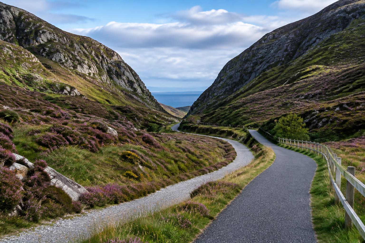
On 13 August 2026 Donegal County Council published the planning application, Environmental Impact Assessment Report and Compulsory Purchase Order for the 37.5km Barnesmore Gap Greenway, putting the route formally into the planning system.
A Major Step Forward
Publishing the planning documents puts the Barnesmore Gap Greenway into the formal planning process. The 37.5km route would run through the Barnesmore Gap, a dramatic mountain pass in Donegal, following much of the old County Donegal Railway line.
The Environmental Impact Assessment Report sets out how the route will protect habitats and wildlife. The Compulsory Purchase Order covers the land needed to build it.
Members of the public can view the documents and make submissions during the statutory consultation period.
What Happens Next
Once statutory approval is in place, the project moves to detailed design and procurement.
The council has said construction depends on funding and on completing the required statutory and procurement processes. Greenways are usually funded through Transport Infrastructure Ireland's national greenways programme.
Other Donegal Greenways
Transport Infrastructure Ireland has approved another Donegal greenway project to move to Phase 3, design and environmental evaluation.
The Buncrana to Bridgend Greenway received €260,000 under the Shared Island Greenways Development Fund for 2026 and 2027, supporting cross-border links with Derry.
Donegal is gradually building up a network of greenways that could eventually connect towns right across the county.
Why Greenways Pay Off
Greenways bring visitors into small towns and give locals safe, traffic-free places to walk, run and cycle.
They create business for cafés, bike hire, B&Bs and shops along the route. That's especially valuable in rural areas, where tourism spending goes a long way.
They also support health and wellbeing, giving people of all ages an easy way to get outdoors.
What the Planning Documents Need to Resolve
A 37.5km route through the Barnesmore Gap has to address far more than the width and surface of a path. The planning material must examine habitats, water, landscape, archaeology, road crossings and the effects on farms and homes along the corridor. Using parts of the former railway alignment may offer a legible route, but every section still needs evidence and design. The Environmental Impact Assessment Report is where those effects and proposed protections can be examined in detail rather than reduced to a promotional map.
The Compulsory Purchase Order is a separate but connected process. It identifies land the council says is required, while giving affected owners formal rights to inspect, object and participate in the statutory procedure. Publication does not mean every issue has been settled or construction approved. It means the project has reached the point where the route, environmental case and land requirements can be tested publicly. Submissions should be considered on their substance before the decision-making process concludes.
If approval and funding follow, detailed design and procurement will determine the final construction sequence. A long rural route may need to be built in sections, with safe connections into towns and access points that work for local users as well as visitors. Donegal will also need a plan for maintenance, signs and links with public transport and businesses. Those practical connections will decide whether Barnesmore becomes an isolated leisure trail or part of a wider county network with lasting community value.
Donegal County Council's published proposal consists of a 31km main route and 6.5km of connecting links between Donegal Town and Ballybofey-Stranorlar. The shared path is generally planned at three to four metres wide, with four trailheads, links to three primary schools and 21 rest areas. Major structures include three new road underpasses, a new road bridge and a proposed 170-metre, six-span viaduct over the River Eske, alongside the reuse of existing bridges and underpasses. That engineering detail explains why the statutory material is extensive and why environmental review is central.
The route is also intended to connect with the proposed National Cycle Network and the wider Wild Atlantic Way and EuroVelo 1 corridors. That gives the project a role beyond a single recreational trail, but only if junctions and onward links are designed coherently. The council has stated a preference for voluntary land agreements even though a draft compulsory purchase process has been published. That approach gives landowners and the project team an opportunity to resolve access and accommodation works while the statutory process protects the route needed for a continuous public greenway.
Council infrastructure projects move through a series of public stages: options and surveys, preliminary design, environmental assessment, planning or statutory approval, detailed design, land agreements, procurement and construction. Funding must often be confirmed again as a project passes from one stage to the next. That can make progress appear slow, but each completed stage reduces uncertainty and brings a project closer to work on the ground. Clear timelines are valuable, provided they remain tied to the approvals and procurement steps that still have to be completed.
The local benefit is usually wider than the piece of infrastructure itself. A road can unlock zoned land and make a town centre safer; a water upgrade can allow approved housing to connect; and a walking route can link homes with schools, shops and public transport. Councils therefore have to judge projects as part of a place rather than as isolated engineering works. The strongest schemes solve an immediate capacity or safety problem while supporting housing, local business and healthier travel over the longer term.
Delivery also depends on coordination that residents rarely see. Local authorities work with national agencies, utility companies, landowners, consultants and contractors, while maintaining access for homes and businesses during construction. Public consultation and environmental assessment are not side issues: they identify problems early and help shape a design that can be built and maintained. The next meaningful update is not another statement of ambition, but evidence that the project has advanced to its following formal stage.
The Bottom Line
The Barnesmore Gap Greenway is now formally in the planning system. It is a big step for a route that could draw visitors to the north-west for years to come.